


CHAPELLE STE MARGUERITE

Daniel Benteux
User
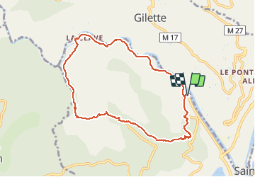

Length
9.1 km

Max alt
387 m

Uphill gradient
322 m
Km-Effort
13.4 km

Min alt
122 m

Downhill gradient
322 m
Boucle
Yes
Creation date :
2021-04-01 06:46:42.734
Updated on :
2021-04-01 12:28:41.214
2h56
Difficulty : Easy

FREE GPS app for hiking
 SityTrail
IGN / Geographical institutes
SityTrail Plus
The world is yours!
About
Trail Nordic walking of 9.1 km to be discovered at Provence-Alpes-Côte d'Azur, Maritime Alps, Le Broc. This trail is proposed by Daniel Benteux.
Description
marche
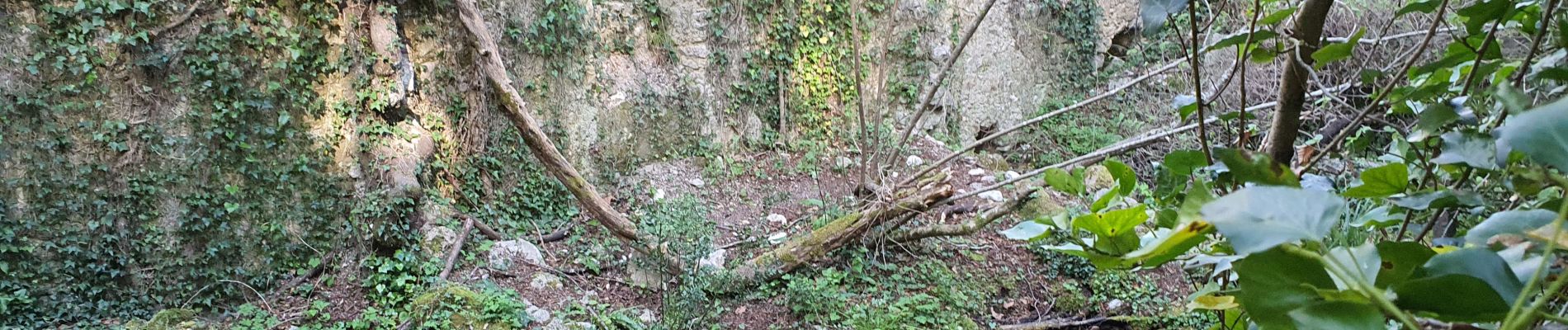
Photos


Positioning
Country:
France
Region :
Provence-Alpes-Côte d'Azur
Department/Province :
Maritime Alps
Municipality :
Le Broc
Location:
Unknown
Start:(Dec)
Start:(UTM)
353111 ; 4855320 (32T) N.
Comments